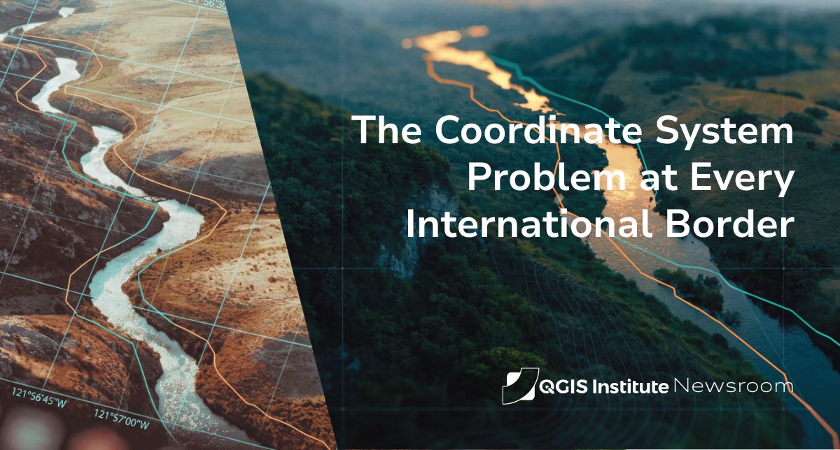
Here's a fact that surprises even experienced GIS users the first time they hit it: the same international border, digitized by two neighboring countries, often doesn't line up.
Not because anyone made a mistake. Not because of political disagreement over where the border runs. But because each country measured that identical line using a different reference for what "here" means — and those references don't perfectly agree. Overlay the two official datasets in QGIS and you'll frequently see a gap, sometimes tens of centimeters, sometimes a meter or more, running the entire length of a boundary both sides consider settled.
This is the coordinate system problem, and it sits underneath a surprising amount of cross-border geospatial work. It's worth understanding, because it's a clean illustration of something GIS professionals deal with constantly: the map is never the territory, and the gap between them is measurable.
What a datum actually is
To see why this happens, you have to start with a concept most map users never think about: the geodetic datum.
The Earth isn't a perfect sphere. It's a slightly squashed, lumpy shape, and to assign coordinates to any point on it, you first have to agree on a mathematical model — an ellipsoid — that approximates that shape, and then anchor that model to the actual ground using reference points. That combination of an ellipsoid plus its anchoring is a geodetic datum. It's the invisible framework that turns "this spot" into a specific latitude and longitude.
The critical part: a geographic point on Earth has different latitude and longitude values depending on which datum you use. WGS84, NAD83, NAD27, ED50, OSGB36 — the same physical location carries different coordinates in each. Choose a different datum, and the numbers change, even though the ground never moved.
So when two countries built their national mapping systems on different datums — which, historically, most did — their coordinates for the exact same border are simply expressed in two different reference frameworks. Both are "correct." They just don't match.
Why neighboring countries end up on different datums
This isn't carelessness. It's history.
National datums were often established over a century ago, optimized to fit one particular region of the Earth as accurately as possible using the surveying technology of the time. A datum tuned to fit North America (like the North American Datum of 1927, built on an ellipsoid determined in 1866) will differ from one tuned to fit Europe. Each was a rational choice for the country that made it — and each was made independently, decades before anyone imagined seamlessly overlaying the two in a GIS.
Then satellites arrived. GPS operates on WGS84, a global, geocentric datum designed to fit the whole Earth reasonably well rather than one region perfectly. This is why a GPS reading and an old national survey map can disagree by a consistent offset: they're anchored to different models. If you've ever seen a steady 50-centimeter-to-1-meter shift between GPS positions and local survey control, that's almost always a datum mismatch, not an accuracy failure. As one geodesy reference puts it bluntly: this is not a bug, it's physics.
The problem gets worse over time, not better
Here's the part that makes this genuinely hard rather than just annoying: the offset isn't even static.
The Earth's tectonic plates move — centimeters per year. Global reference frames like ITRF track those current positions and update continuously. But regional datums like NAD83 or Europe's ETRS89 were deliberately fixed to their plate at a specific moment in time, so that local coordinates stay stable for surveyors and land records. The consequence is that the difference between a global frame and a regional one grows every single year.
Which means a border alignment that was reconciled a decade ago has, quite literally, drifted since. For high-precision cross-border work, you're not solving the mismatch once — you're managing a moving target, in both space and time.
Why this matters beyond trivia
It would be easy to file this under "interesting geodesy trivia," but it has real operational weight.
Any project that combines spatial data from two countries runs straight into it: shared river basin management, transboundary environmental monitoring, cross-border infrastructure like pipelines or power lines, trade corridor planning, cross-border emergency response. In every case, if you naively stack one country's data on the other's without accounting for the datum difference, everything is subtly, invisibly off — and "subtly off" in a legal boundary context can have consequences.
The fix isn't complicated in principle, but it has to be done deliberately: transform both datasets into a common, well-defined coordinate reference system before doing any analysis, using a documented transformation between the datums rather than assuming they're interchangeable. This is exactly the kind of operation QGIS handles well — its on-the-fly reprojection and transformation tools exist precisely because this problem is everywhere, not just at borders.
But — and this is the professional judgment part — a transformation is itself an approximation with its own uncertainty. Knowing which transformation to use, and how much residual error it leaves, is the difference between a GIS analyst who moves data between systems and one who actually understands what they're doing to it.
The takeaway
The border on the ground is one thing. The border in the data is a claim about that ground, expressed through a chain of choices — which ellipsoid, which datum, which epoch, which transformation — most people never see.
Two countries can agree completely on where their border runs and still produce datasets that don't align, purely because they're speaking different coordinate languages. Reconciling them isn't a clerical task. It's a genuine piece of geospatial expertise, and it's a small, sharp example of the discipline that separates careful GIS work from the kind that produces confident, precise, quietly-wrong results.
The coordinates are never just the coordinates. There's always a framework underneath — and knowing it's there is most of the job.